

Backpack from Hualapai Hilltop into the Havasupai Reservation for creekside camping and time around Havasu Falls. The canyon approach and blue-green water make this a trip to plan well ahead.
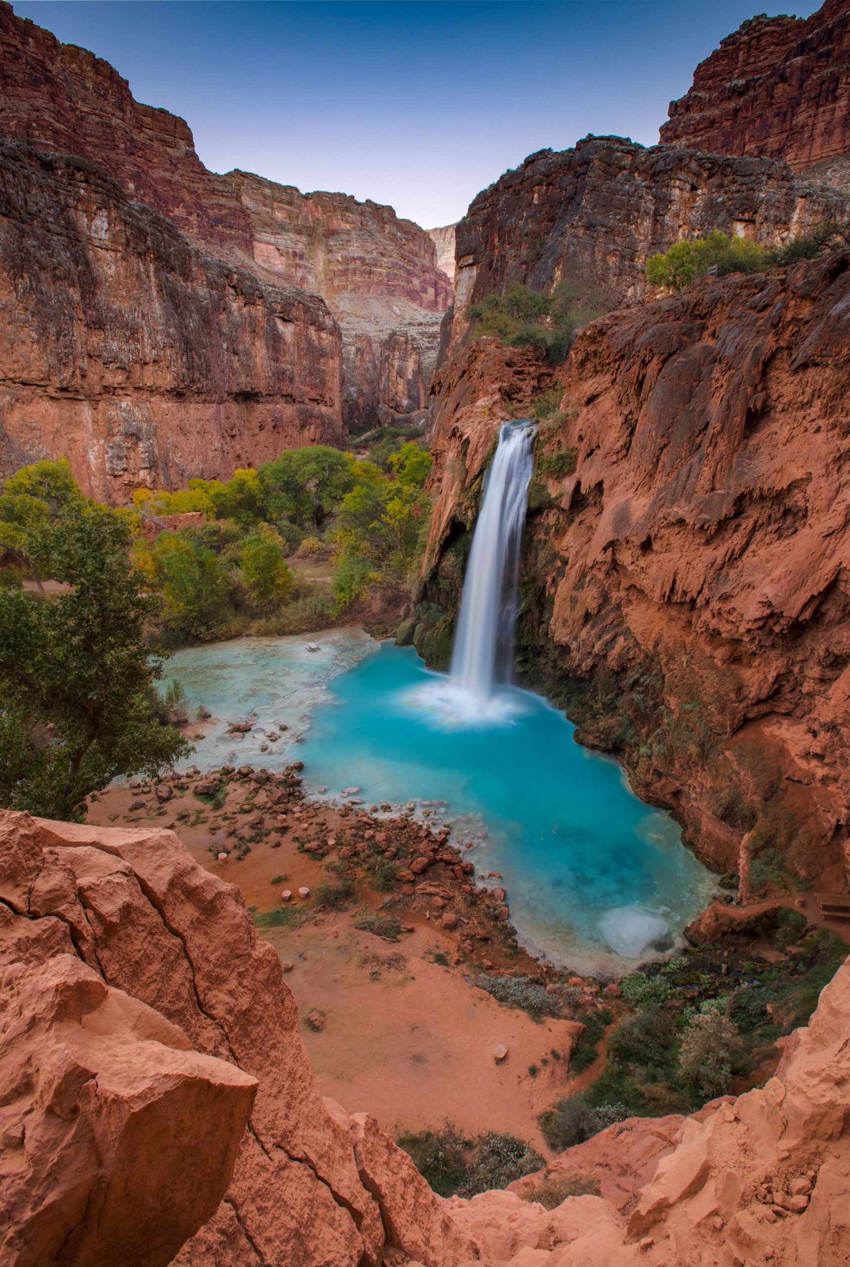
Havasu Falls camping adventure
Location: Havasupai Reservation, Arizona
Backpack from Hualapai Hilltop for a four-day Havasu Falls camping trip, with blue-green water and a demanding climb back out.
Essential facts
- Challenge
- Hard
- Planning duration
- 4 days / 3 nights
- Route distance
- 20.0 mi
Overview
At a glance
- Total elevation gain
- 2,346 ft
- Cost & booking summary
- 2026 camping: $455/person for four days and three nights, with necessary fees/taxes under the FAQ. No 2027 rate or opening is verified. Required tribal check-in precedes the descent; food, travel and legal staging lodging are separate.
Route & getting there
Route map & GPX
Havasu Falls Camping | Full trip | Planning
Overnight markers derive from the supplied daily track endpoints and may indicate a trail or camping-area approach, not a tent pad.
Plan and day selection update the route, markers, notes, and download together.

Map loading. GPX downloads are available below.
Map data © OpenStreetMap contributors. Open Database License (ODbL) 1.0.
Route sources, alignment, access and conditions notes
Dated access and conditions note (November 11, 2026)
A Havasupai reservation, tribal check-in and current access instructions are required. NPS warns that some canyon areas may be off limits during flood recovery, without establishing a current closure for every part of this standard approach. Confirm current tribal notices and stay on the authorized visitor route. Do not camp within 150 ft of waterfalls or in closed areas. No flood detour or waterfall descent has been invented. A planning GPX is not tribal access permission.
Searchable points
WGS 84 latitude, longitude. Decimal places do not imply survey accuracy.
36.1593719, -112.7092968 | Hualapai Hilltop trailhead | on mapped trail; reference offset 7 m
36.2390088, -112.6957195 | Supai village visitor route | on mapped trail; reference offset 0 m
36.2565311, -112.7009539 | Havasupai Campground main-trail approach | on mapped trail; reference offset 19 m
Hualapai Hilltop parking and trailhead – Trailhead
Approximate location – not an exact point. Check the source before travelling.
Reservations & costs
Preparation
- Season & conditions
- Cooler months favor hiking. Summer brings intense heat; monsoon weather increases flash-flood risk. Follow current tribal alerts.
- Technical requirements
- Carry your kit down a remote canyon and back uphill. The campground approach is roughly 10 miles each way, before waterfall side trips. Additional walks change the trip’s distance and ascent.
Recommended gearExplore our backpacking gear recommendations
Check reservation-specific camping and creek-activity requirements before choosing footwear or a sleep kit.
Sources & references
General adventure information
- 8809069662228 Things To Know Before Making a Booking (help.havasupaireservations.com)
- Reference page (havasupaireservations.com)
- Havasupai (nps.gov)
- 8808949310868 Getting to the Hualapai Hilltop Hilltop Trailhead (help.havasupaireservations.com)
- Data=!4m14!1m7!3m6!1s0x80ccb41b809ff565:0x6dab1e121e3e6bea!2s Hualapai+Hilltop!8m2!3d36.159677!4d 112.7093675!16s/m/0h3lxhh!3m5!1s0x80ccb41b8a630a01:0x6e0c6eacd07a1aa6!8m2!3d36.1594236!4d 112.7093466!16s/g/11c60 kz2y (google.com)
- Faqs (havasupaireservations.com)
- Terms conditions (havasupaireservations.com)
Planning options sources
Planning options use the general references above.