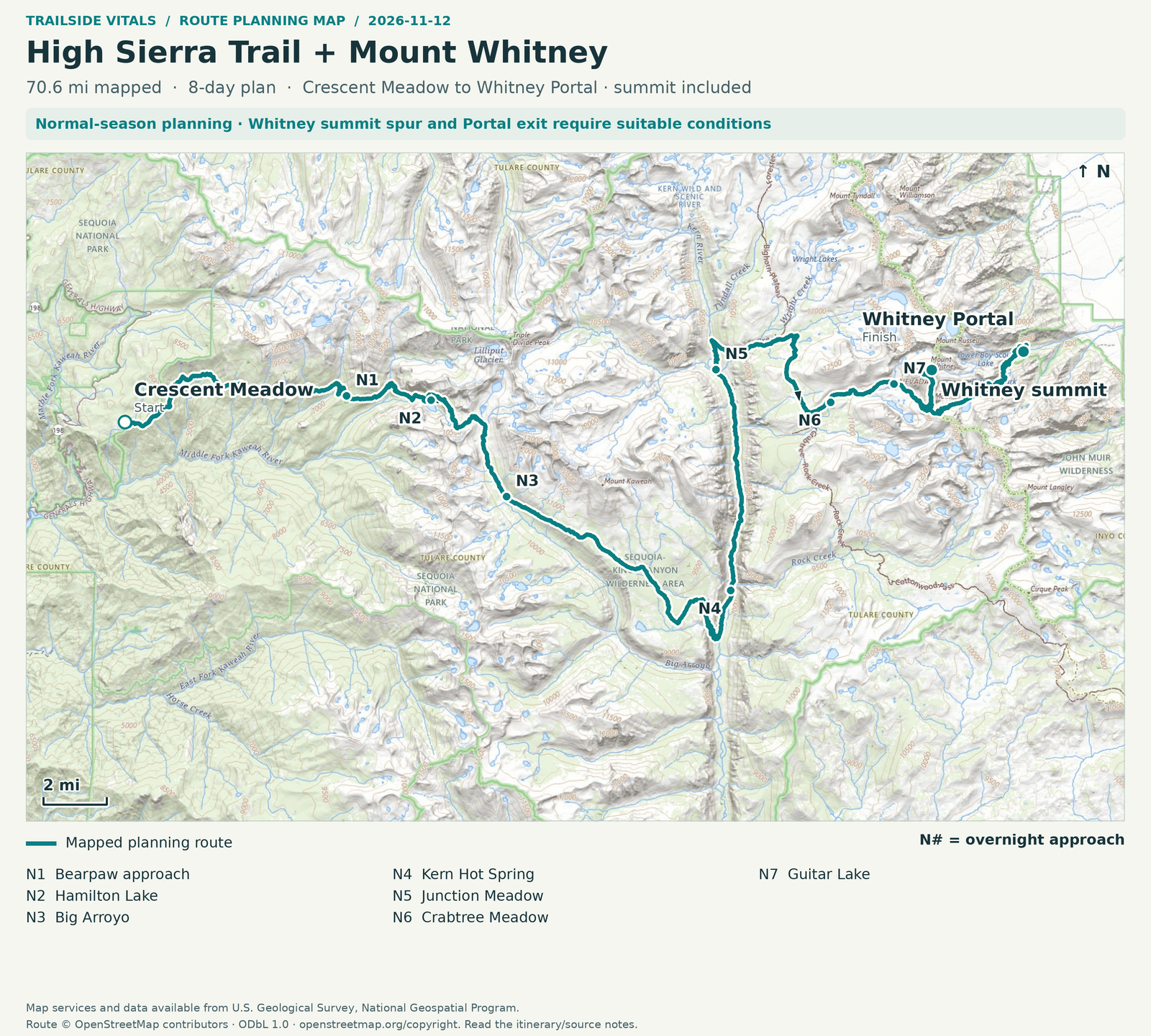

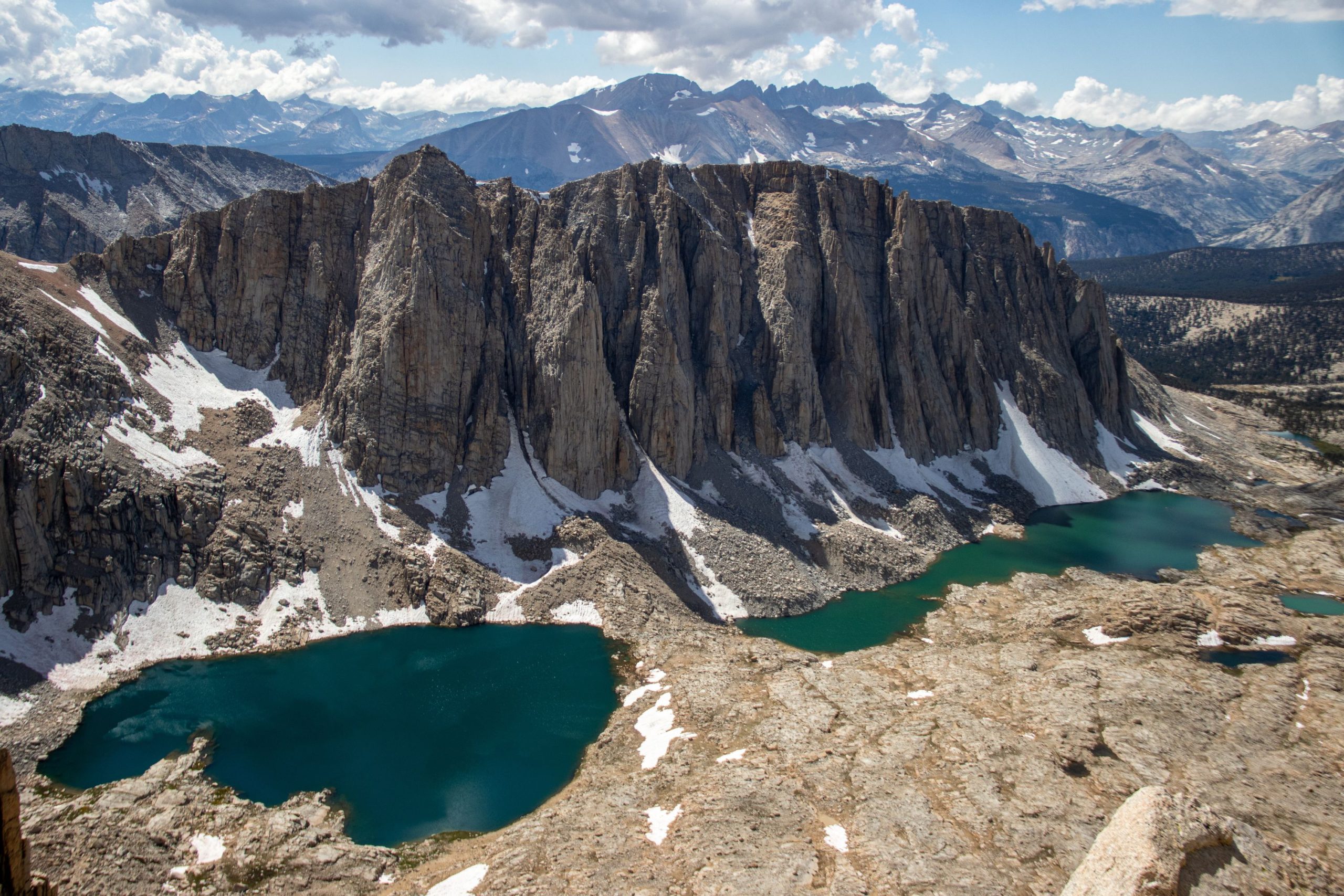
Cross the Sierra from sequoia country through granite basins and a deep river canyon to the high crest.
From Crescent Meadow, the High Sierra Trail follows the Middle Fork Kaweah country, crosses the Great Western Divide at Kaweah Gap, descends through Big Arroyo and the Chagoopa Plateau to the Kern, then climbs toward the John Muir Trail and Whitney. The changing landscape is as much a part of the journey as Whitney. NPS provides this geographic sequence and a suggested multi-day itinerary.
Treat the Whitney summit as an option that depends on conditions, not a guaranteed finish. The summit decision sits at the end of several days of travel, when weather, fatigue and acclimatization matter more than a headline destination. This route suits experienced backpackers with consecutive-day fitness, remote-route judgment and enough time to alter the plan. A person who can manage one hard day at low elevation has not necessarily demonstrated readiness for a self-supported Sierra crossing.
Add time for acclimatization, travel around the range, permit collection and delays beyond the walking plan. NPS's Whitney overview describes the western High Sierra Trail approach as about 60 miles one way and a minimum six-day undertaking; this is not a verified Crescent Meadow–Whitney Portal total. Summit distance and distance including the eastern descent are different measurements.